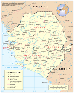
Sierra Leone United Nations Map No. 3902 Rev. 6, September 2014, is posted with permission of the United Nations.
For additional United Nations maps see: https://www.un.org/geospatial/mapsgeo/generalmaps.
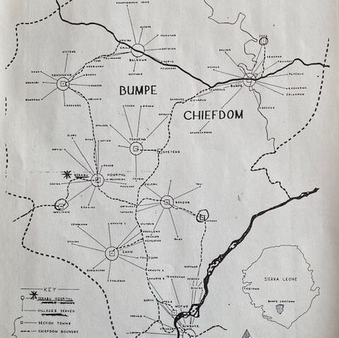
Photo Above: Bumpe Chiefdom (location of Serabu Hospital). Map drawn by Dennis E. Devinney, circa 1976.
For a larger map of Bo District see: https://www.humanitarianresponse.info/sites/www.humanitarianresponse.info/files/documents/files/ocha_sle_ref_bo_landscape.pdf |
Map on left shows Bumpe Chiefdom (Southern Province of Sierra Leone). Section "towns" are circled with connecting lines to villages under the authority of each section of the Chiefdom. Asterix shows location of Serabu Hospital. Bold line (bottom right) denotes Sewa River.
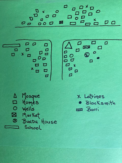
Map on right shows simple drawing of Niagorhun village made during a community assessment (A. Doyle, circa, 1978). |
|
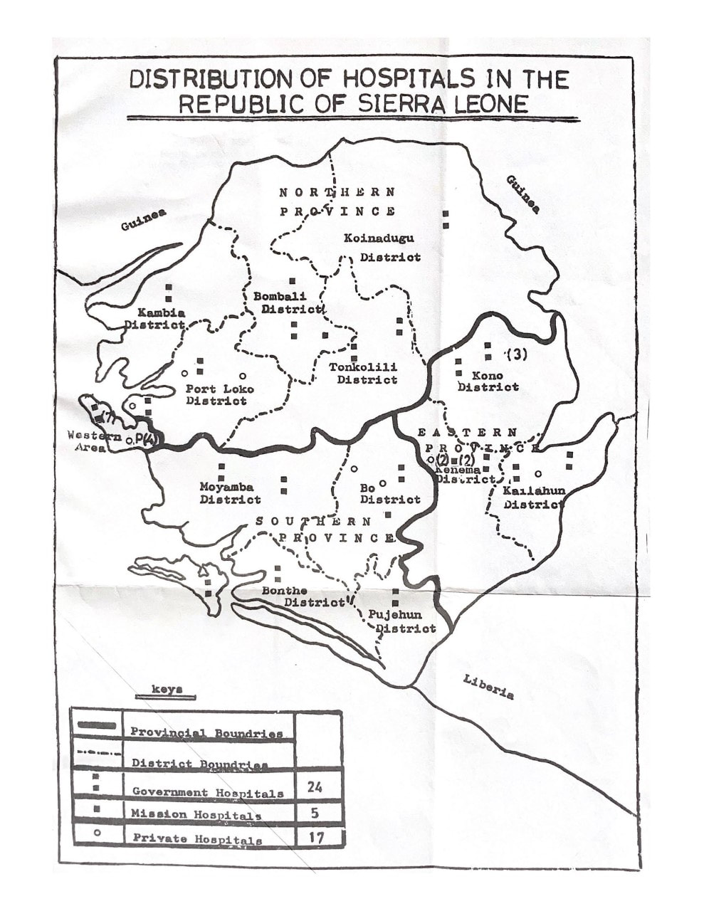
Map from Maternal Mortality in Sierra Leone
by Dr. Belmont E.O. Williams.
Ministry of Health, Sierra Leone Government (circa 1977).
by Dr. Belmont E.O. Williams.
Ministry of Health, Sierra Leone Government (circa 1977).
